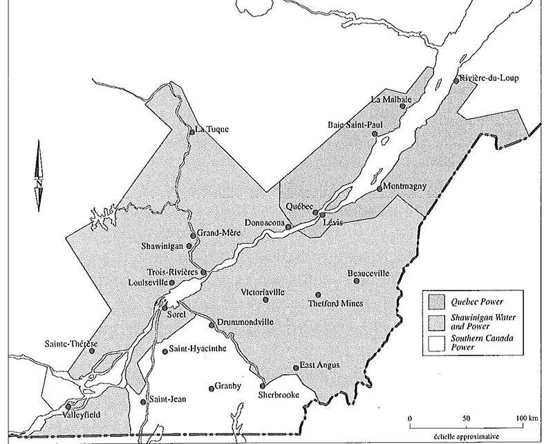
Title: Territorial Map of Shawinigan Water and Power
Source : Shawinigan Water and Power 1898-1963
Year: 1994
Description:
Territory served by Shawinigan Water and Power and is affiliates around 1960.
Transcription:
Quebec Power, Shawinigan Water and Power, Southern Canada Power, Approxiomate scale of 0 50 100 KM, Rivière-du-Loup, La Malbaie
Baie Saint-Paul, Montmagny, Lévis, Québec, Donnacona, Beauceville, Thetford Mines, Victoriaville, Drumondville, East Angus
Sherbrooke, Granby, Saint-Jean, Saint-Hyacinthe, Valleyfield, Sainte-Thérèse, Sorel, Louiseville, Trois-Rivières, Shawinigan, Grand-Mère, La Tuque